- New Cloud Service Assures Data Integrity for Geotechnical Information Management
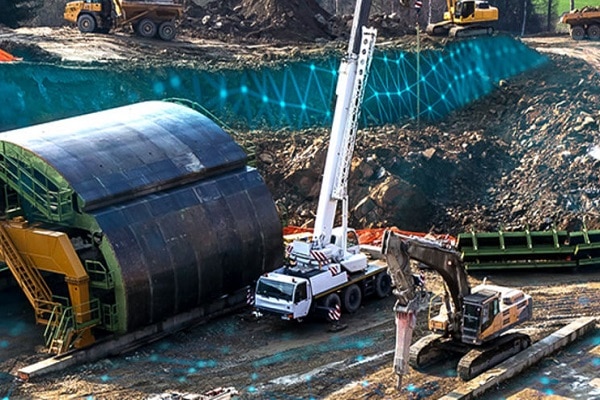
- Historical geotechnical data can be obtained for the modeling, simulation, and analysis of infrastructure projects and ground conditions
Bentley Systems, Incorporated, a leading global provider of comprehensive software and digital twins services for advancing the design, construction, and operations of infrastructure, today announced the availability of OpenGround Cloud, a new cloud service that enables geotechnical professionals to access reliable geotechnical data for better engineering decision support and to improve collaboration across the entire supply chain.
OpenGround Cloud offers a complete solution for planning, data entry, borehole log production, lab data management, reporting, visualization, and more. The cloud service improves collaboration across multidisciplinary project teams and significantly increases the value of geotechnical data by making it easily accessible to key project stakeholders.
About OpenGround Cloud
Scott Devoe, senior director, geotechnical information management, Bentley Systems, said, “OpenGround Cloud provides a single enterprise repository of multiple data sources for all ground investigation projects—a long-sought improvement for geotechnical and geological professionals. It eliminates the need to retain copies or to exchange data and ensures that everyone in the supply chain has the correct access rights to the most current version. As a result, OpenGround Cloud helps minimize project delays due to encountering unforeseen ground risks during construction.”
Richard O’Brien, principal process engineer with Atkins, said, “From a risk management perspective, we are now able to more easily identify the gaps in data, to highlight risk items and, if required, assist in the planning of targeted ground investigations. From the tender process, when local site data availability is limited, through to detailed design, we are now able to undertake data-driven assessments to aid in our decision-making. Ground investigations are planned more effectively taking into consideration multidiscipline and multiproject data leading to reduced costs.”
Cedric Allenou, ground engineering lead, Lower Thames Crossing, said, “OpenGround Cloud improved the workflow for all members of the team. In addition, maintaining the link with the database when members of other organizations need to access the data has also improved the workflow due to the servers being cloud-based. As a result, external support teams can more easily solve issues that arise.”
Historical Geotechnical data and Ground condition
Geotechnical project team dynamics and the applications and services they require to manage natural resources are changing rapidly. Relevant geotechnical data is typically dispersed across various applications and devices and can be cumbersome to gather and consolidate, complicating the effective and timely use of this data. Now, with OpenGround Cloud, geotechnical engineers can readily access reliable, high-quality current and historical geotechnical data for the modeling, simulation, and analysis of infrastructure projects’ ground conditions.


